App Notes PWA
Notes, lists and GPS
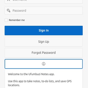
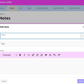
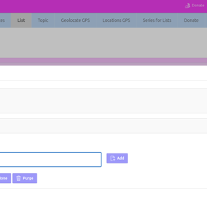
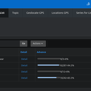
This app allows you to save notes, checklists, and GPS locations.
Make shopping or to-do lists, schedule repeating tasks, and save GPS locations, which you can then open with Google Maps.
User registration is required to keep your data private.
Click the button below to go to the app:
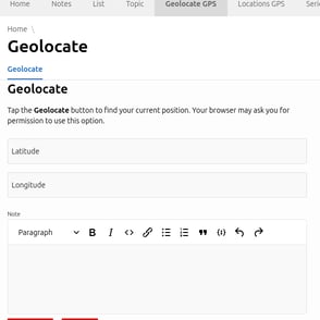
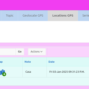
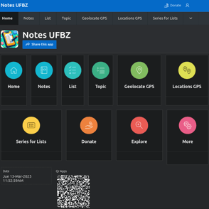
Our NOTES UFBZ PWA application handles the functionality of saving GPS Locations. You might be interested in reading this article on the topic:
GPS Location: Deciphering Latitude, Longitude, and Their Role in Maps
In today's digital age, the ability to know our exact location and that of any point on the planet has become an indispensable tool. From navigation in our vehicles to searching for a nearby restaurant, Global Positioning System (GPS) technology plays a crucial role. At the heart of this technology lie two fundamental concepts: latitude and longitude. Understanding their meaning and how they are used on maps is essential to make the most of location tools.
What is a GPS Location?
A GPS location is a set of data that identifies a unique location on the Earth's surface. This information is obtained through a network of satellites orbiting the Earth. GPS receivers, present in our smartphones, cars, and other devices, capture signals from these satellites. By measuring the time it takes for these signals to reach the receiver from different satellites, the device can calculate its exact position through a process called trilateration. GPS location information is primarily expressed through geographic coordinates, which consist of latitude and longitude values.
The Meaning of Latitude
Latitude is an angular measurement that indicates the distance of a point on Earth with respect to the Equator. It is measured in degrees (∘), minutes (′) and seconds (′′), or in decimal degrees.
The Equator is the imaginary line that divides the Earth into the Northern Hemisphere and the Southern Hemisphere, and it 1 is assigned a latitude of 0°.
Lines of latitude are circles parallel to the Equator, also known as parallels.
Latitude values range from 0° at the Equator to 90° at the North Pole (90° N) and South Pole (90° S). Latitudes north of the Equator are indicated with the letter "N" (North) or a positive sign (+), while latitudes south of the Equator are indicated with the letter "S" (South) or a negative sign (-).
The Meaning of Longitude
Longitude is an angular measurement that indicates the distance of a point on Earth with respect to the Prime Meridian (Greenwich Meridian). Like latitude, it is measured in degrees (∘), minutes (′) and seconds (′′), or in decimal degrees.
The Prime Meridian (Greenwich Meridian) is the imaginary line that passes through the Royal Observatory in Greenwich, London, United Kingdom, and it is assigned a longitude of 0°.
Lines of longitude are semicircles that extend from the North Pole to the South Pole, also known as meridians.
Longitude values range from 0° at the Prime Meridian to 180° east (180° E) and 180° west (180° W). Longitudes east of the Prime Meridian are indicated with the letter "E" (East) or a positive sign (+), while longitudes west are indicated with the letter "W" (West) or a negative sign (-).
The Use of Latitude and Longitude on Maps
Latitude and longitude form a system of geographic coordinates that allows any point on the Earth's surface to be uniquely located. On maps, these imaginary lines of latitude (parallels) and longitude (meridians) are represented as a grid.
Horizontal lines on a map represent parallels of latitude. The distance between these lines is approximately constant, although slightly smaller near the poles due to the Earth's spheroidal shape.
Vertical lines on a map represent meridians of longitude. These lines converge at the poles, so the distance between them decreases as we approach the poles.
To find the location of a point on a map using its GPS coordinates:
Locate the line of latitude corresponding to the given value. If the latitude is North, look for the line north of the Equator (0°). If it is South, look for the line south.
Locate the line of longitude corresponding to the given value. If the longitude is East, look for the line east of the Prime Meridian (0°). If it is West, look for the line west.
The intersection of these two lines (latitude and longitude) on the map indicates the location of the desired point.
Digital map applications, such as Google Maps or Waze, use these coordinates invisibly to the user. When we search for an address or a place, the application translates that information into latitude and longitude coordinates and displays them on the map. Similarly, when we activate the location function on our devices, the GPS receiver provides the current latitude and longitude coordinates, allowing the application to position us on the map and offer relevant information about our surroundings.
In summary, latitude and longitude are the fundamental pillars of GPS location and cartographic representation. Understanding their meaning and how they are used on maps allows us to better comprehend how the technology that relies on them works to guide us and provide us with precise spatial information in our daily lives.
Innovation
We develop installable and accessible web applications.
© 2025. All rights reserved.